Bottom line: Use a real street plan as the skeleton of a fictional city, then change the story layered on top of it.
Why it works: Roads, districts, bottlenecks, and edges already relate to one another in believable ways.
Try this: Pick a city your players do not know well, hide the modern labels, and assign three districts before the next session.
Fictional cities become convincing when movement has consequences. A river limits crossings. A highway becomes a wall. A dense center offers shortcuts while a hillside forces a longer route. Drawing all of those relationships from scratch can consume more preparation time than the session itself.
A real map offers a useful foundation. It is not a finished campaign setting. It is a coherent piece of spatial logic that you can rename, reinterpret, and make your own.
Choose geography that supports the campaign
Start with the kind of pressure the setting needs. A coastal city creates ports, isolated waterfront districts, and exposed edges. A river city makes bridges strategically important. A desert grid can turn distance and scarcity into part of the story.
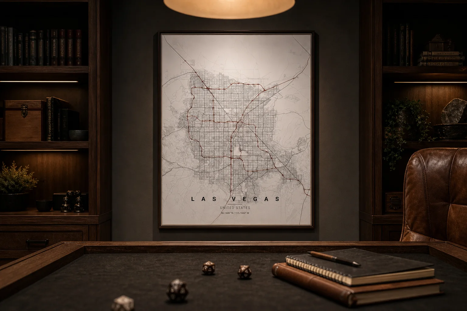
Las Vegas, shown in the game room above, has a strong street hierarchy and a clear contrast between dense urban blocks and open land. In another campaign, the same plan could become a walled trade city, a neon megacity, or a settlement at the edge of a hostile plain.
Choose a place that is unfamiliar enough to avoid constant real-world comparison but legible enough to use at the table.
Remove information before adding lore
The map should support play, not overwhelm it. Begin with a clean theme and decide what the players actually need to see.
Then add only the campaign layer:
- Rename three to five major districts.
- Mark a few routes that matter to the current story.
- Choose one landmark per district.
- Leave empty areas for discoveries made during play.
Do not label every street. A sparse map gives the table room to invent details without contradicting a dense document.
Use the street network as a game mechanic
Once the city has shape, geography can create choices. A bridge can be watched. A ring road can offer speed at the cost of exposure. An old quarter can be safer on foot but difficult for vehicles. Players begin to form a mental model of the place, and that makes future decisions feel earned.
The same map can work at two scales. Hang a clean framed version in the game room as atmosphere, then use a working print on the table for notes, tokens, or removable markers. Keep the display copy untouched and let the table copy accumulate the campaign’s history.
Let the city change through play
The best campaign maps are not finished before the first session. They gain borders, alliances, shortcuts, and scars as players act. A real city gives you the durable structure; the table supplies the fiction.
Generate a city map with a theme that matches the campaign, then stop preparing when the first three districts are playable.