For interior designers
Create location-specific wall art for a client project.
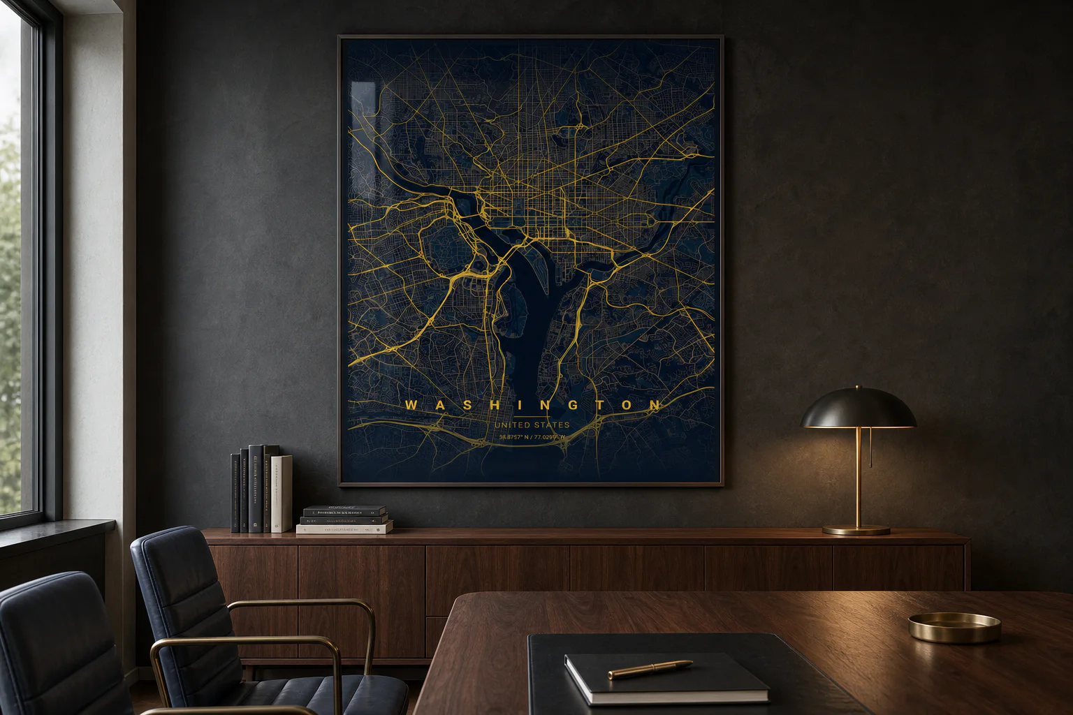
Create palette-matched, client-specific map posters for homes, offices, hospitality spaces, and gallery walls with product sizing and frame-aware previewing.
Details
What is included.
- Workflow
- Preview, approve, fulfill
- Output
- PNG download or physical print
- Data
- OpenStreetMap
Team workflow
Create, review, and output the map.
- 01
Find the place
Search by city and country, use suggestions, enter coordinates, or pick a location from the map preview.
- 02
Tune the map
Set radius, crop to city borders, choose road detail, place pins, edit text, or add a Strava/GPX route.
- 03
Choose the product
Select region, paper or finish, print size, and frame options before composing the final poster.
- 04
Download or print
Render the poster, save the PNG, checkout through Stripe, and track the order through fulfillment.
Common projects
Where this format is used.
- Residential projects
- Hospitality spaces
- Office installs
- Gallery walls
Questions
Product details.
Can teams create more than one map poster?
Yes. Teams can repeat the same studio workflow for multiple addresses, properties, venues, or client locations, then print only the approved maps.
What data is the map based on?
Street, waterway, park, road hierarchy, and boundary geometry comes from OpenStreetMap data.
Can previews be reviewed before printing?
Yes. The workflow is compose, review, download or checkout, so only approved map poster concepts move into production.
Open the studio