Bottom line: Start with the route, then simplify the city until the line is easy to follow.
Why it works: The activity remains specific while the surrounding map explains where it happened.
Try this: Load one meaningful activity and test route contrast at the final poster size before adding extra labels or markers.
Some place memories are best described by movement. A familiar morning loop, a first century ride, a mountain approach, or a long walk through a new city is not one coordinate. Its shape is the story.
Monotopo can bring that activity into the map poster studio through a connected Strava account or a GPX file.
Load and verify the route
Choose the activity in Strava or upload the GPX file. Once the line appears, inspect it before styling. Check that the start and finish are plausible and look for recording jumps or long straight segments that do not belong.
The source file determines the path. Styling can clarify it, but it cannot recover missing location data. If more than one recording exists, use the cleanest original file.
Compose around the activity
Pan and change the radius until the complete route has comfortable space around it. A city loop may suit a tight crop. A long point-to-point ride may need a wider radius or different orientation.
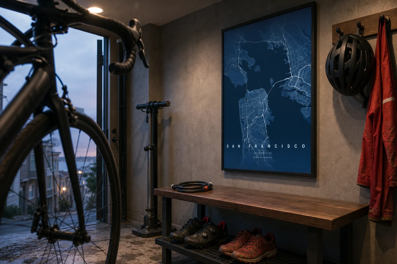
The San Francisco entry workshop above uses the city map as context for an active room: bike, helmet, shoes, and a steep street beyond the door. The artwork itself remains clean. In the studio, a route overlay can add the exact line without changing the surrounding interior story.
Style the line before the markers
Adjust path color, thickness, and solid, dashed, or dotted treatment. The route should remain visible over dense streets, water, parks, and dark or light theme areas.
Then decide whether start and finish markers improve the composition. A loop with nearly overlapping endpoints may need only one clear marker. A long journey can benefit from two distinct endpoints.
Marker styles should support the story rather than decorate it. A race may suit a performance or classic marker. A daily walking loop may need the minimal option.
Reduce competition from the map
The base map remains editable after the activity is loaded. If the route disappears inside the street network, try these changes in order:
- Reduce minor-road detail.
- Increase route contrast.
- Adjust line thickness at print scale.
- Widen the radius slightly.
- Choose a quieter theme.
Do not solve every problem by making the line brighter. A calmer base often produces a more durable poster.
Add the facts worth keeping
Title, date, distance, location, or a short description can complete the piece. Keep the text concise and verify it against the original activity before rendering.
Choose the final product size, review the aspect ratio, and inspect the rendered file at full resolution. The route should still feel continuous and the endpoints should not crowd the edge.
Open the studio with the original activity ready.